Home >
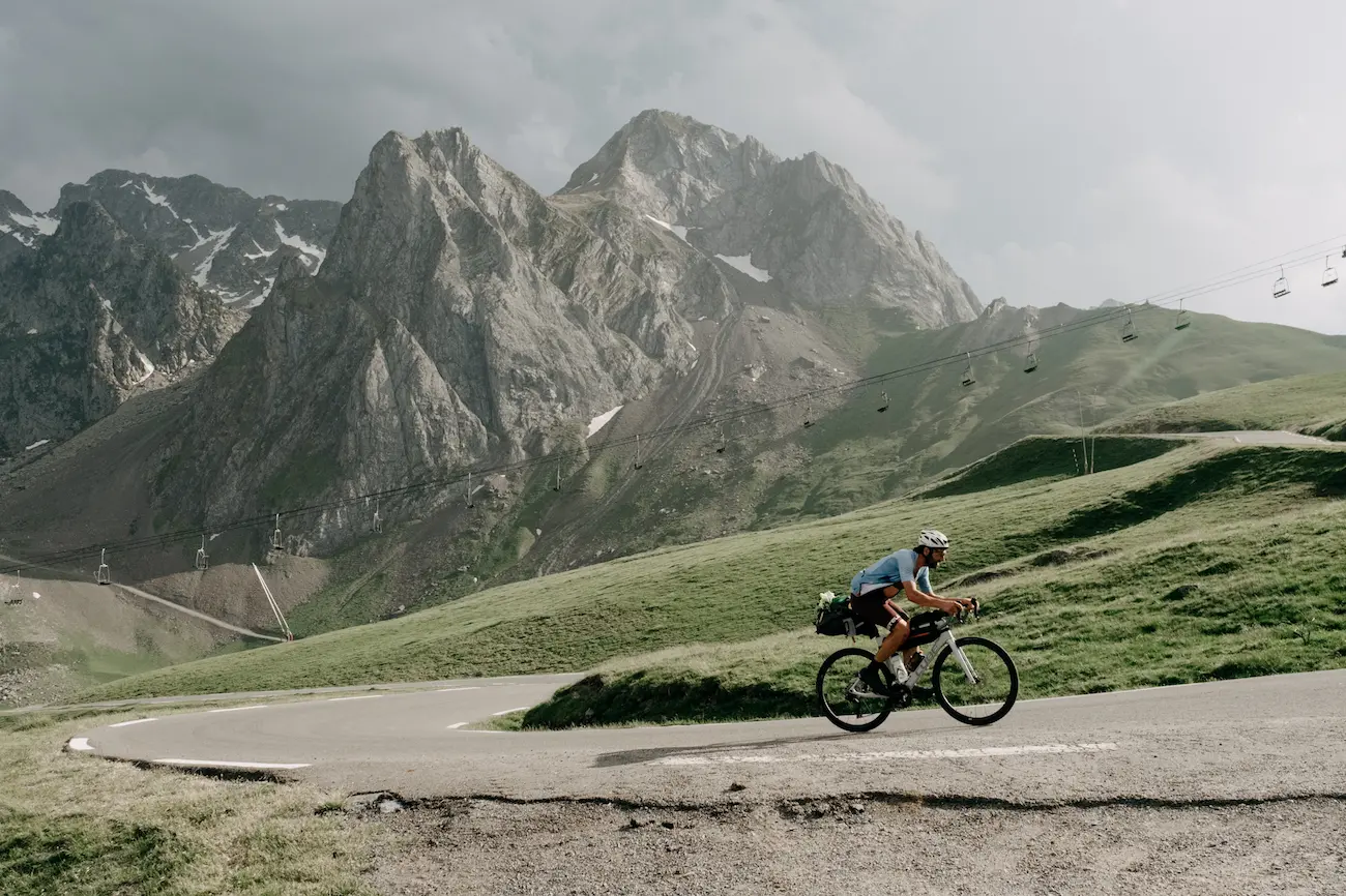
In 2026 we celebrate the fifth edition of Kromvojoj with a brand-new route and two distance options. Both will be circular, starting and finishing in Alforja, in the Tarragona region.
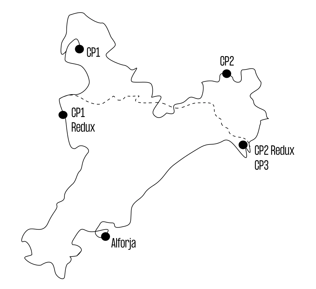
The first 400 kilometres are shared by all riders before each distance heads off in its own direction. The Redux version will feature two checkpoints, while the longer route will include three.
This edition is a tribute to the origins of Kromvojoj: the entire route will take place within Catalonia and will be fully paved from start to finish. In addition, every checkpoint will be new, with none repeated from previous editions
- 1.335km / 26.000m+
- 885km / 16.500m+ (Redux Version)
- Maximum time allowed: 7 days
To learn more about the routes from previous editions, please visit our Ride With GPS.
Route 2026

Access the fifth edition itineraries. Available from 14.05.2025 at 20:00CET:
Kromvojoj 2026
For this edition, Kromvojoj traces a journey that crosses Catalonia from south to north before slowly turning back eastwards. A route linking open roads, vast Pyrenean valleys, damp forests and reservoirs that constantly emerge beneath the mountains. Two routes sharing the same beginning and spirit, yet interpreting the landscape differently as the kilometres unfold. This is not a route designed simply to accumulate distance, but one intended to move through landscapes with a strong sense of identity, where each section changes the rhythm, the light and the way the road is ridden.
From the dry lands of the south to the humid relief of Montseny, the route shifts continuously between rock, water and forest, passing through territories that feel entirely distinct from one another: the roads of Priorat and Terra Alta, the vast horizons of Pallars and Alta Ribagorça, the inland reservoirs of the Pre-Pyrenees, and the dense mountains of Berguedà, Ripollès and Les Guilleries.
Terres de l’Ebre and Ponent. Heading inland
Kromvojoj leaves Baix Camp behind, quickly reaching Priorat and the roads that follow the course of the Ebro before turning inland towards central Catalonia. Terra Alta introduces a landscape shaped by wind, vineyards and wide horizons, where fatigue begins long before the mountains arrive.
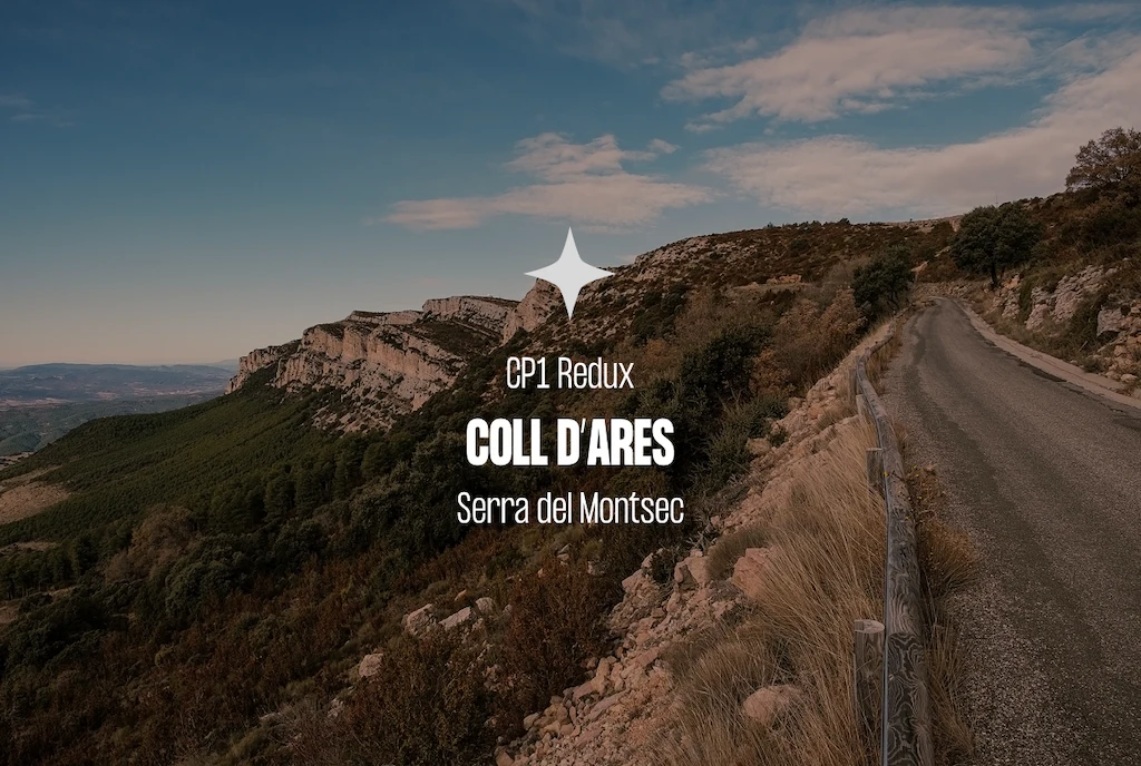
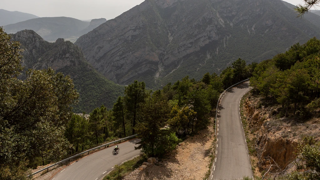
As the route advances westwards, the terrain becomes harsher and more isolated until reaching Àger and Montsec, where the scale changes entirely: rock faces, gorges and narrow roads that demand constant negotiation with the terrain. Between canyons, bridges and roads suspended above inland reservoirs, the route slowly begins to approach the Pyrenees.
Coll d’Ares, CP1 of the Redux route, marks the true gateway into the Pre-Pyrenees and the point where both distances begin to interpret the mountains in different ways.
Alt Pirineu. The great crossing
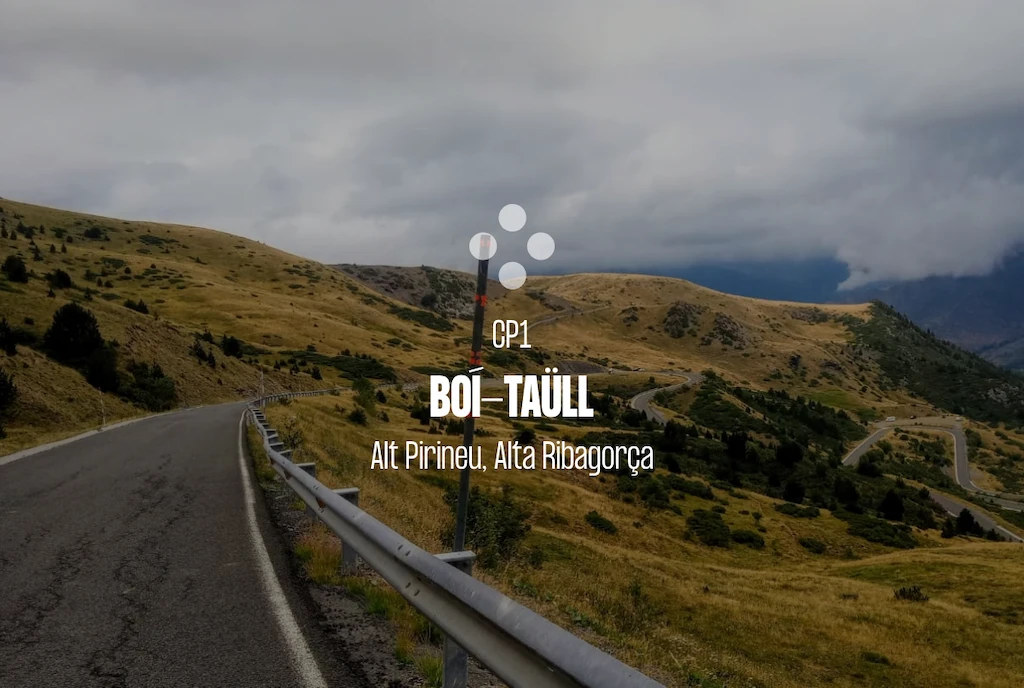
The heart of this edition lies within the roads of Pallars, Alta Ribagorça and the inland mountains of Solsonès. The long route reaches Boí Taüll, CP1 of the full distance, before heading towards the openness and high mountain terrain of Bonaigua, while the Redux route finds its character in the relentless folds of Bóixols and Comiols.
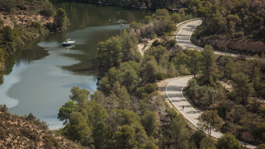
Different roads, same feeling: entering territories where progress comes slowly. The waters of Pantà de Sant Antoni, the narrow reservoirs around Oliana and the long Pyrenean valleys accompany a route where the mountains never appear in isolation, but are constantly tied to rivers, gorges and roads carved into the terrain itself.
These are long, changing and deeply scenic roads where speed becomes secondary and the journey is measured instead in hours spent in the mountains. Here the Pyrenees represent the highest point of the route, both in altitude and in difficulty.
Central Catalonia and the eastern Prepirineu. Turning east
After the severity of the north, the route gradually turns east through Berguedà and Ripollès. The light changes, the vegetation changes, and so does the rhythm of riding.
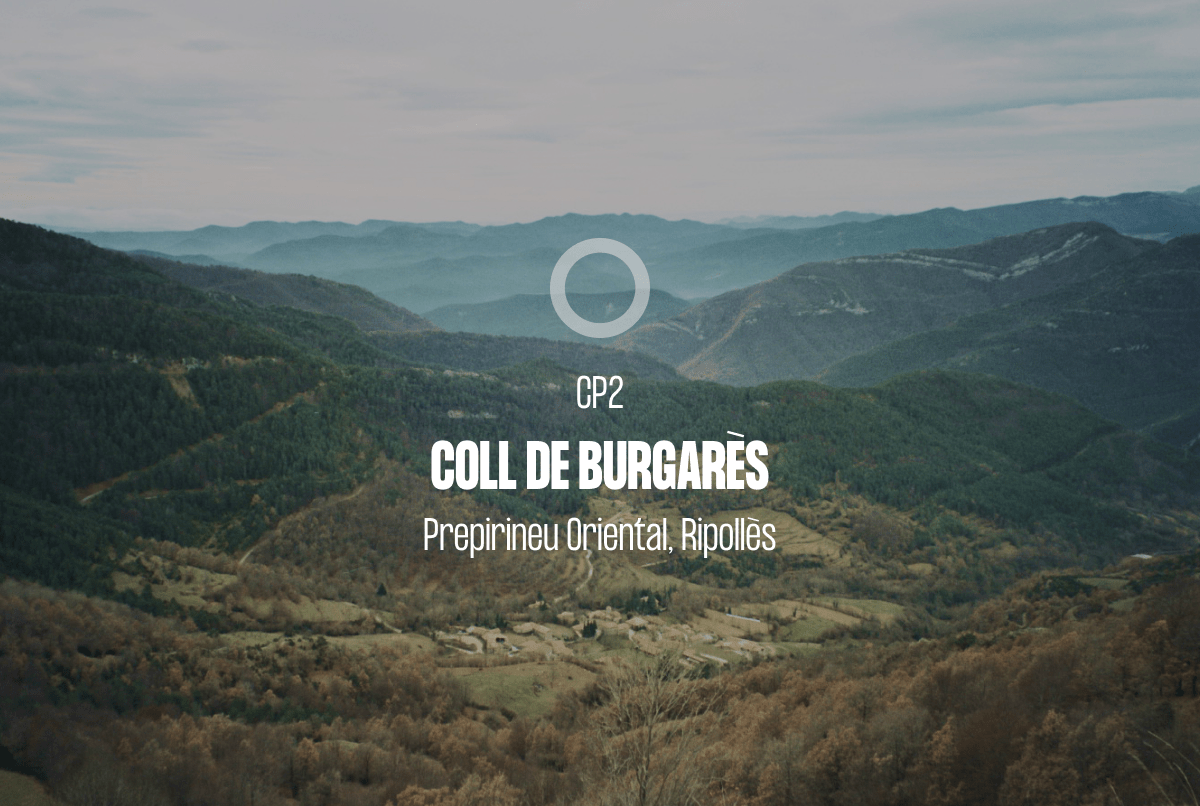
The roads of Catllaràs and Serra Cavallera, where the long route reaches Coll de Burgarès as CP2, introduce a greener and wetter mountain landscape, with endless climbs and deep valleys where fatigue begins to weigh heavier than elevation gain itself. The road once again reconnects with large bodies of water at La Llosa del Cavall and La Baells, now far removed from the mineral landscapes of the west.
Forest becomes increasingly dominant, the mountains close in, and the route enters a wetter, denser Catalonia where the terrain never gives away speed and every valley seems to lead slowly towards Montseny.
Les Guilleries and Montseny. The final refuge
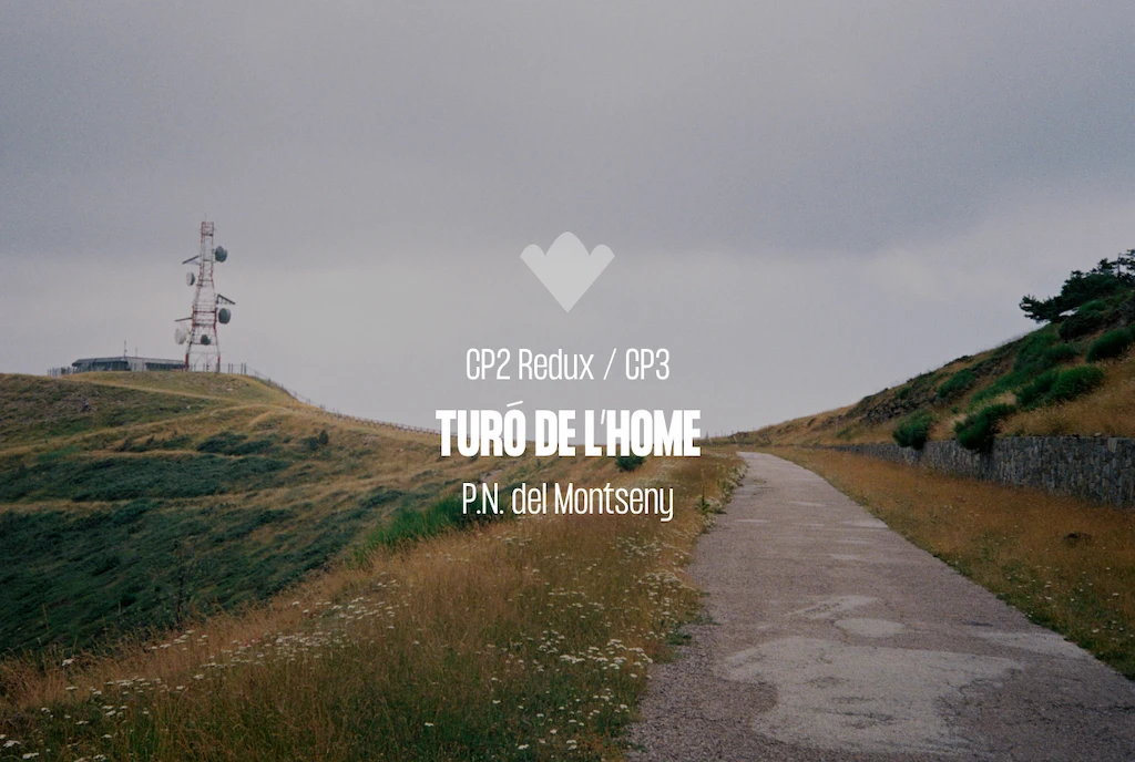
By the time the route reaches Susqueda, the accumulated distance is already felt deep in the legs. A dark and silent landscape introduces the final long ascent towards Turó de l’Home, CP2 of the Redux route and CP3 of the long route, beneath the constant presence of Les Agudes and Matagalls.
This is a different kind of mountain from the Pyrenees: less open, more intimate and far closer. A place where the objective is no longer to attack or chase speed, but simply to endure and keep moving forwards.
Even then, the return towards Baix Camp still remains, across broken terrain that demands concentration right through to the final kilometre.
1.335km |
Redux 885km |
|---|---|
| Coll d’Alforja 631m | Coll d’Alforja 631m |
| Coll de Porrera 526m | Coll de Porrera 526m |
| Coll Major 508m | Coll Major 508m |
| Coll Roig 559m | Coll Roig 559m |
| Coll del Guix 530m | Coll del Guix 530m |
| Coll de Fatxes 571m | Coll de Fatxes 571m |
| Coll d’Aumet 498m | Coll d’Aumet 498m |
| Port d’Àger 912m | Port d’Àger 912m |
| Coll d’Ares 1.534m | CP1 Coll d’Ares 1.534m |
| Coll de Montllobar 1.100m | Coll de Montllobar 1.100m |
| Port Creu de Perves 1.335m | Coll de Faidella 1.236m |
| CP1 Boí-Taüll 2.052m | Coll de Bóixols 1.380m |
| La Bonaigua 2.077m | Coll de Boix 1.257m |
| Port del Cantó 1.721m | Coll de Jou 1.480m |
| Montan de Tost 1.188m | Coll de Jouet (Coll de la Mina) 1.200m |
| Coll d’Arnat 1.268m | Collada de Mansa 782m |
| Coll de Port 1.664m | Coll de Gomara 892m |
| Port del Compte 1.699m | Coll de Bordoriol 1.089m |
| Alt de Capolat 1.295m | Coll de Sant Marçal 1.107m |
| Coll de la Batallola 1.197m | Santa Fe del Montseny 1.300m |
| Coll de Merolla 1.099m | CP2 Turó de l’Home 1.706m |
| Coll de Canes 1.120m | Collformic 1.145m |
| Coll de Coubet 1.010m | Coll de la Pollosa 917m |
| Coll de Santigossa 1.064m | Coll de la Censada 606m |
| CP2 Coll de Burgarès 1.360m | Coll de les Llebres (La Mussara) 963m |
| Coll de Pèra 816m | |
| Port d’Oix de Bucs 773m | |
| Port d’Oix de Bucs 773m | |
| Coll de Camporiol 508m | |
| Coll de Nafré 610m | |
| Sant Hilari Sacalm 810m | |
| Pla de les Arenes 988m | |
| Coll de Gomara 892m | |
| Coll de Bordoriol 1.089m | |
| Coll de Sant Marçal 1.107m | |
| Santa Fe del Montseny 1.300m | |
| CP3 Turó de l’Home 1.706m | |
| Collformic 1.145m | |
| Coll de la Pollosa 917m | |
| Coll de la Censada 606m | |
| Coll de les Llebres (La Mussara) 963m |